Mapping historic business directories
A historical mine of information for social scientists and historians.
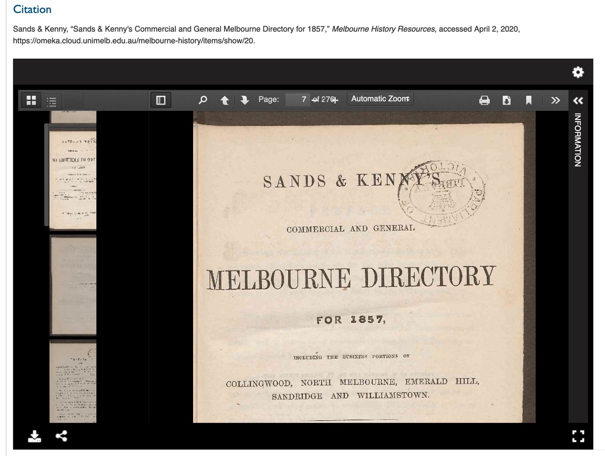
 Sands & McDougall directories
The Sands & McDougall Melbourne Directories record the expansion and development of Melbourne’s social and commercial life from 1860 to 1974. As records of historical business information the directories can help us understand more about businesses that were located at a particular place, at a point in time.
Currently the directories exist in hard copy in a number of libraries and historical collections:
Digitising the directories
The directories consist of three fundamental types of information: alphabetical listing of surnames; property-by-property and street-by street listing across Melbourne’s suburb; and trade and professional listings. The digitisation of the directories has enabled researchers to access and analyse this information using current tools of digital research analysis.
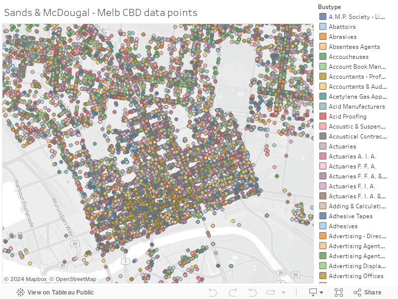
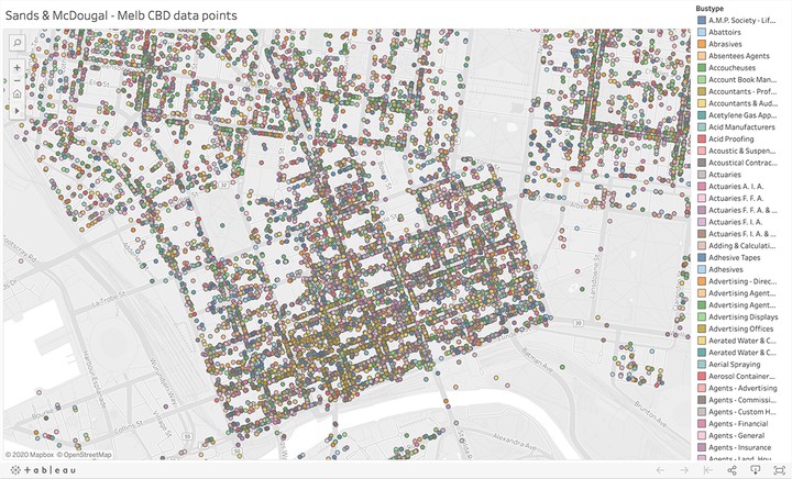
The data created by digitising the published business directories using an Optical Character Recognition (OCR) process supports options for creating structured text formats. With proper analysis and data modelling researchers have begun exploring ways to programmatically insert geo-spatial coordinates into these files to various levels of granularity.
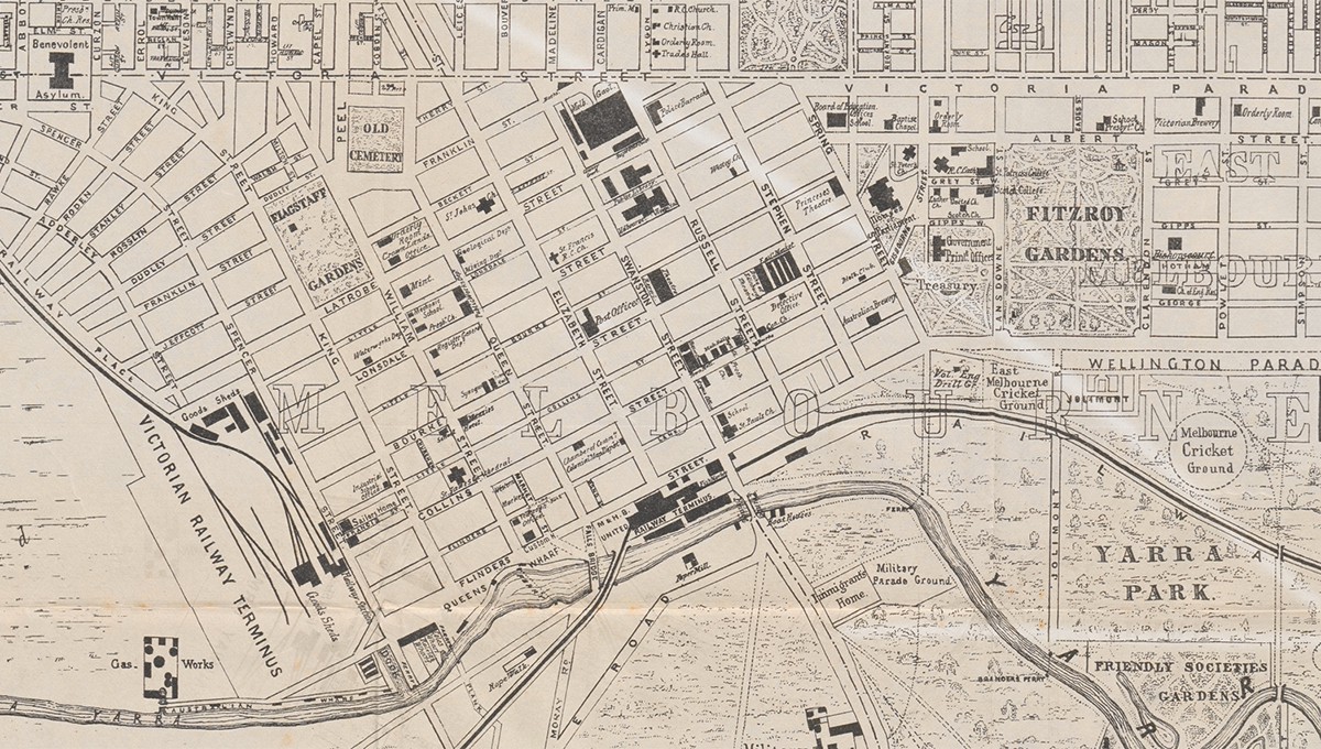
Geospatial analysis
GIS organises and integrates sources on the basis of their shared geographic location. Geospatial tools allow humanities researchers to map their data in time and space, and then integrate and explore it in relation to other disparate cultural datasets.